
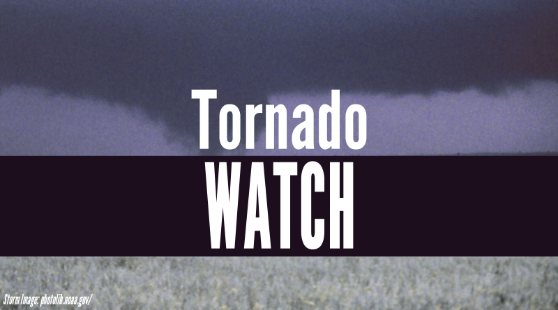
Tornado watch in effect as Beryl barrels through our area
The National Weather Service in Indianapolis has issued a tornado watch for southern Indiana. That includes Bartholomew, Brown, Decatur, Jackson and Jennings in our area.
The weather service says that as the remnants of Hurricane Beryl pass through our area, there is a chance of isolated tornadoes. Forecasters say that any tornadoes that form are likely to be EF-0 or EF-1, but a few EF-2 tornadoes are also possible.
The tornado watch is in effect until midnight.
The remnants of Hurricane Beryl are going to be hitting our area soon, according to local emergency officials.
According to the Bartholomew County Emergency Management department, the northern part of our area is under a slight risk of severe weather including northern Bartholomew, Johnson and Shelby counties and most of Brown and Decatur counties. Meanwhile the southern and eastern portions fall under the higher, enhanced risk, including southern Bartholomew, all of Jackson and most of Jennings counties.
Forecasters say the greatest threat will most likely be from 5 to 10 p.m. Showers and thunderstorms are expected to pick up with torrential rain of 1 and a half to two inches, and up to three inches in that enhanced area. The heaviest rain is expected this evening and early Wednesday.
You can expect minor flooding in low-lying areas and along waterways.
There is also a chance for strong winds and isolated tornadoes with this weather. Gusty winds of up to 40 mph are possible through Wednesday morning with up to 50 mph winds by Wednesday afternoon.