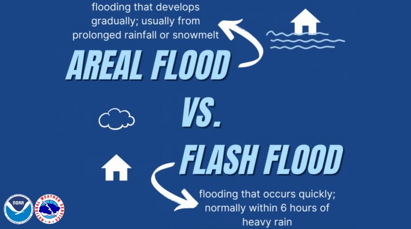
Areal flood warning issued for our area; Heavy rain runoff causing threat
Flood Warning issued April 5 at 12:37PM EDT until April 5 at 11:00PM EDT by NWS
Indianapolis IN
* WHAT…Flooding caused by excessive rainfall is expected.
* WHERE…Portions of central, south central, southwest, and west central Indiana, including the following counties, in central
Indiana, Bartholomew, Decatur, Hancock, Hendricks, Johnson, Marion, Morgan, Rush and Shelby. In south central Indiana, Brown
and Monroe. In southwest Indiana, Sullivan. In west central Indiana, Clay, Owen, Parke, Putnam, Vermillion and Vigo.
* WHEN…Until 1100 PM EDT Saturday.
* IMPACTS…Flooding of rivers, creeks, streams, and other low-lying and flood-prone locations is imminent or occurring. Numerous roads remain closed due to flooding. Streams continue to rise due to excess runoff from earlier rainfall. Local media have reported
water rescues.
* ADDITIONAL DETAILS…
– At 1233 PM EDT, Gauge reports indicate between 2 and 4.5 inches of rain have fallen over the past 24 hours from multiple rounds of heavy rain and thunderstorms, resulting in flooding across the warned area.
– Additional rainfall amounts of 0.5 to 1.5 inches are possible in the warned area.
– Some locations that will experience flooding include…
Indianapolis, Bloomington, Terre Haute, Columbus, Shelbyville, Fishers, Greenwood, Lawrence, Plainfield, Franklin, Brownsburg, Greenfield, Beech Grove, Martinsville, Speedway, Greensburg, Greencastle, Mooresville, Danville and Brazil.


